| Select from
|
|
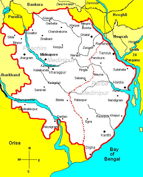
*A district in W.B.*
|

Aquainting with the geography:
Total area of the district is 7081sq.km. The eastern part
of the district is under Ganges plain & fertile land. But maximum part
is under Chotnagpur tableland.
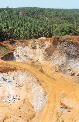
Laterite soil is special feature of this area. This area also comes
under Rarh zone . small tillas are found at
Binpur, jambani, Gopiballavpur and Dantan. Red bolders of this area are
used to built pool, temple, ways. 18% land of the district is under forest.
Deep forests of sal, segun, are found at western part. Dwarkeswar, kansabati,
Rupnarayan, subarnarekha, Silabati are the rivers. In every monsoon these rivers
flood the district. But after winter they become waterless. |